Agriculture has been the catalyst for growth and development of many civilizations and economies. Over time, industrial agriculture evolved, and as part of this evolution, the industry adopted more efficient and effective agricultural practices. As location-based intelligence becomes increasingly popular, with its multiplicity of implications, it has a major impact on various industries. Today modern agriculture focuses on how spatial intelligence can be used in sustainable ways to meet the long-term needs of each community. We are seeing new trends in efficiency, robust supply chain, and sustainable agriculture through the use of location intelligence. We now have promising solutions to address these 21st-century agricultural challenges, through geocoding maps in Dynamics CRM. These solutions boost agriculture and businesses by
- Producer’s productivity
- Optimizing inventory management
- Just in time marketing
Producer’s productivity
In modern farming, geospatial technology is everywhere: portable devices combined with smart maps, sensors built into both equipment and fields, and machines equipped with trackable smart devices so the farm operator knows about their picks. This can help farm management isolate contamination problems so that food is not wasted unnecessarily and help farmers determine their best yields and replicate the success.
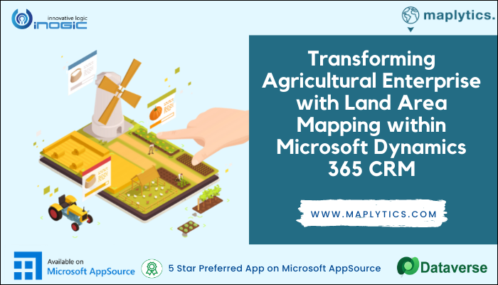
Geospatial Intelligence can create maps with data about the local topographical data and soil quality. This is beneficial as it helps farmers make data-driven decisions about where to locate their farms to increase yields, prevent soil erosion, and monitor fertilizer and livestock feeding use. Land area Mapping visualizes the land using the respective color-coded pushpins on the map. This provides important information to help you glance at the record’s location along with the area it covers. This helps farmers in planning crop plantation, crop rotation, monitoring and planning agricultural activities for a field.
Maplytics helps farmers in productivity improvement, revenue forecasting, and profit estimation and can also be used by other stakeholders. Maplytics through its Bing maps integration in Dynamics CRM guides stakeholders like consultants, investors, insurance companies, corporations, educational institutions, governments, statistical offices, and food production companies in visualizing the data. These organizations can analyze the available data for each field and generate statistical reports to predict future commodity availability.
Optimizing inventory management
Many companies that have achieved success optimized fieldwork. Utility workers, truck drivers, and other service providers are more efficient today using Maplytics for Route optimization in Microsoft Dynamics 365. The same is happening in agriculture with GIS, today farmers and businesses have real-time locations and routes. In general, a simple push notification on mobile guides the driver about the impassable road in real-time and provides a Turn by Turn Navigation in Dynamics 365 to a different location, increasing the efficiency of the driver. Maplytics can plan schedules in Dynamics 365 to boost the efficiency of logistics through improved transport forecasting, planned real-time route optimization models, and streamlined cargo movement through efficient route planning.
Locational Intelligence improved business outcomes by leveraging the power of data-driven logistics and ensuring transparency over the whole transportation cycle. Locational Intelligence helps predict demand and helps in minimizing shipping risks. Locational Intelligence can transform the functional dynamics of modern-day warehousing. The logistics industry is witnessing the rise of technologically superior warehousing models by facilitating improved inventory accuracy and efficient transport management.
Just in time marketing
Using Maplytics for map integration in Dynamics 365 CRM, a business can get a clear overview of current market coverage and potential clients with the ability to plan upcoming business trips easily and personalize the sales proposal. For example, if a fertilizer company wants to increase market share in a particular region, the sales team can easily select the right product for customers with farm data in that region. Based on the Heat maps in Dynamics 365 the sales reps can provide the right product for each farm depending on its size and production focus. This not only helps the organization to grow but also the farmer optimizes its output. Organizations can market farm products and offer them in a specific and personalized way. Time is of the essence especially when sales need to acquire new customers from a certain area and campaigns can be planned based on the land area mapping proving to be a perfect tool for a faster conversion from lead to Conversion. The managers can track sales territory in MS Dynamics 365 on a real-time basis and also the sales team can update the information for more accurate targeting.
Maplytics plays a major role in the agricultural sector, creating a sustainable industry and contributing to the goals of the next generation. Maplytics understands that supply and demand for agricultural products vary since each land and produce is different sizes. Maplytics provides an easy maps integration in Dynamics 365, intuitive usage, optimized routing, and territory management for individual regions.
Land area mapping and Map integration in Microsoft Dynamics 365 in agronomics is helping in bring food from farms to your forks. If your business plans the integration of Maps within Dynamics 365 CRM and needs some consultation on ‘How to enable Maps for Microsoft Dynamics 365 CRM?’, then get connected with team Maplytics™ by emailing us at crm@inogic.com.
Visit our website or Microsoft AppSource to get a 15-day free trial for Maplytics today!