Maplytics has been growing as an application year by year with the help of our valuable partners and customers. Being a certified and Microsoft AppSource Preferred App, we have been helping your field sales and field service reps get the most out of their field trips. From finding the shortest routes to your meeting locations to helping you avoid traffics by providing real-time traffic data, Maplytics have been helping Sales Reps stay ahead of their time. And Maplytics doesn’t just benefit your sales team. By helping the marketing team in targeting the right customers at the right time, it also improves their marketing campaigns. It helps the Management and Marketing team to visualize opportunities and territories, analyze customers geographically and get the best of both worlds i.e., Dynamics 365 and Maps.
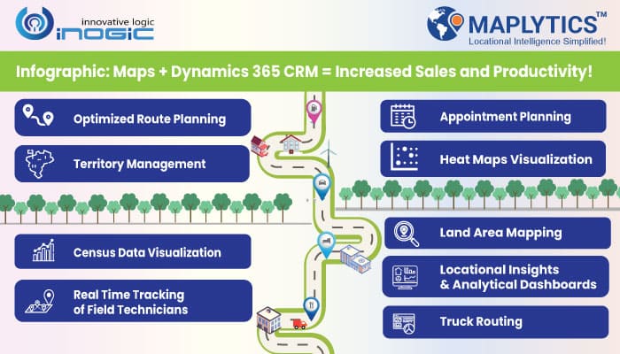
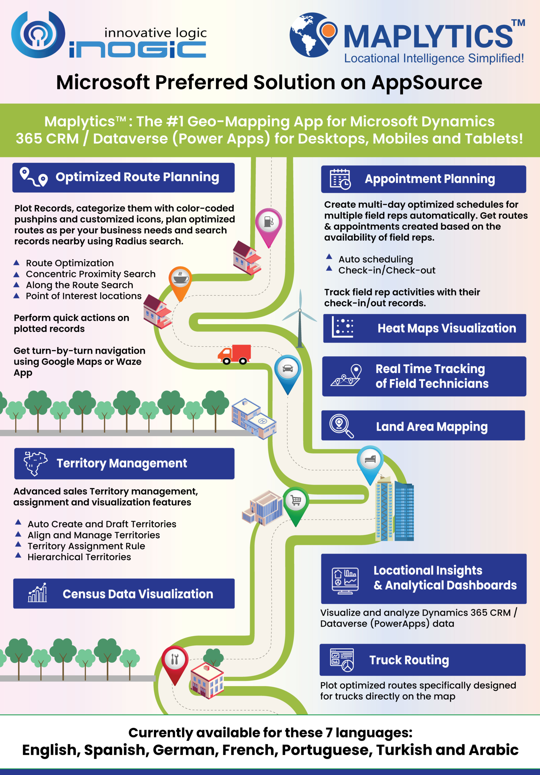
To expand on this more, we present the most popular features of Maplytics in a visually pleasing way i.e., as an infographic.
1. Optimized Route Planning
Maplytics offers the best routing solution in Dynamics 365. Plot Records, categorize them with color-coded pushpins and customized icons, perform radius search and plan optimized routes as per your business needs. You can also perform quick actions on plotted records and get turn-by-turn navigation using Google Maps or Waze App! Further, you can get locational awareness of nearby CRM records by performing proximity search on map in Dynamics 365.
– Route Optimization
– Concentric Proximity Search
– Along the Route Search
– Point of Interest Locations
2. Appointment Planning
Creating schedules on map in Dynamics 365 has never been more easy. Managers can create multiday optimized schedules for multiple field reps as per their availability automatically with the help of this feature. As a manager, you can track the activities of your Sales Reps when they are on field.
– Auto-scheduling
– Check-in/Check-out
3. Territory Management and Assignment
Businesses around the world use Maplytics to create Microsoft Dynamics 365 Sales Territory. Maplytics offers Advanced Territory Assignment and Management features like auto-create territories, manage overlapping territories in Dynamics 365, save draft territories, assigning them, etc. With our new release in May 2021, we have also introduced Territory Assignment Rule where you can create your own rules to assign territories and the owners to the required records as per set conditions.
– Auto Create and Draft Territories
– Align and Manage Territories
– Territory Assignment Rule
– Hierarchical Territories
Create intuitive Pie charts and Column charts in Heat maps within Dynamics 365 CRM.
5. Real Time Tracking of Field Technicians
Track location of Field Service Reps within Dynamics 365 in real-time.
6. Land Area Mapping
Visualize the land areas for agricultural, residential, commercial properties etc. on the map.
7. Locational Insights and Analytical Dashboards
Gain historical, current, predictive data to analyze & make strategies for optimized Sales profits.
Plot optimized routes for trucks on map along with details of hazardous material carried and other details.
9. Census Data Visualization
Plot Census Data on map to visualize Housing units, Area land, Area water, Population Demographics, and others to make informed decisions.
Maplytics is compatible with Dynamics 365 version 8.2 and above both Online or On-Premises. We currently support 7 different languages viz English, Spanish, German, French, Portuguese, Turkish, and Arabic.
Apart from these, we have many more features which can help you be locationally intelligent and make accurate business decisions. Head on to our last video compilation blog to find out how Maplytics can help you achieve your goals. Also check out our eBooks!
Make sure to try it out for a free trial period of 15 days from our website or Microsoft AppSource! Check out our online help manual to know in detail about all features!
Map with Maplytics and become geographically smart today!


