Lately many organizations have started using more and more shape files and excel files to view the geographical regions on a map. With the help of a shape files and excel files it becomes much easier to visualize all the regions that the user is looking to focus on. With the latest addition of “Territory management section” in our latest release of Maplytics, users can now plot the shape files and excel files on the map to visualize the geographical areas together. Users can also create and align territories by selecting the shapes/regions quickly.
As we can visualize all of the required regions together, it could be much easier if the user could create multiple territories out of the multiple regions plotted on the map. Within the Territory management section, we have provided a button named “Create territory” which has made it possible to create multiple territories/geographies on a single click. User can plot shape files or excel files on the map to view the shapes required as geographies and use this button to create multiple territories/geographies on a single click in two ways as follows:
By Excel file
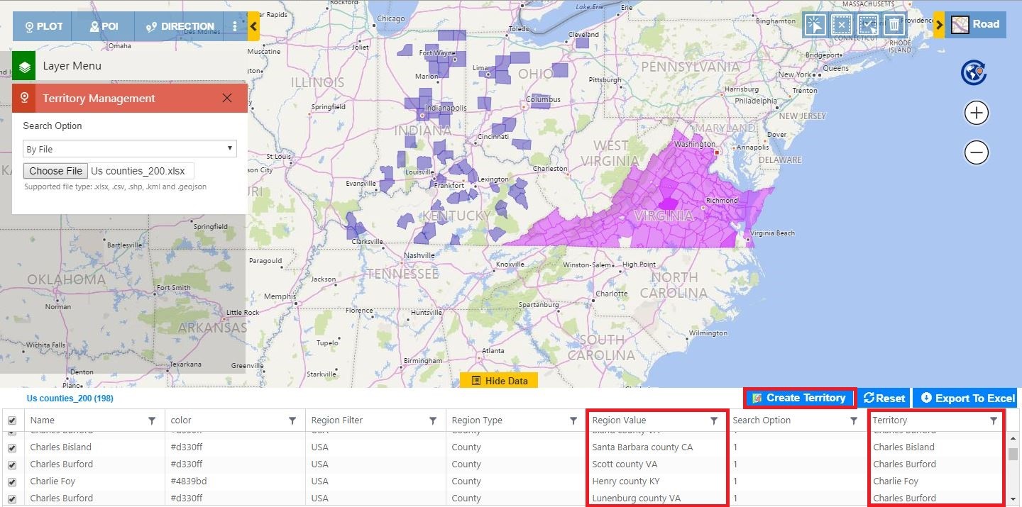
User can plot an excel file to visualise the regions to create multiple territories for. The excel file to be plotted, should be in a specific format. User can refer our blog for uploading multiple geographies to know the format for the same. After plotting the excel file, user can now click on the ‘Create Territory’ button to create territories directly. The shapes plotted on the map will be saved as Geographies. The names of the territories and the respective Geographies will be fetched from the excel file as highlighted in the screenshot below.
By Shape files
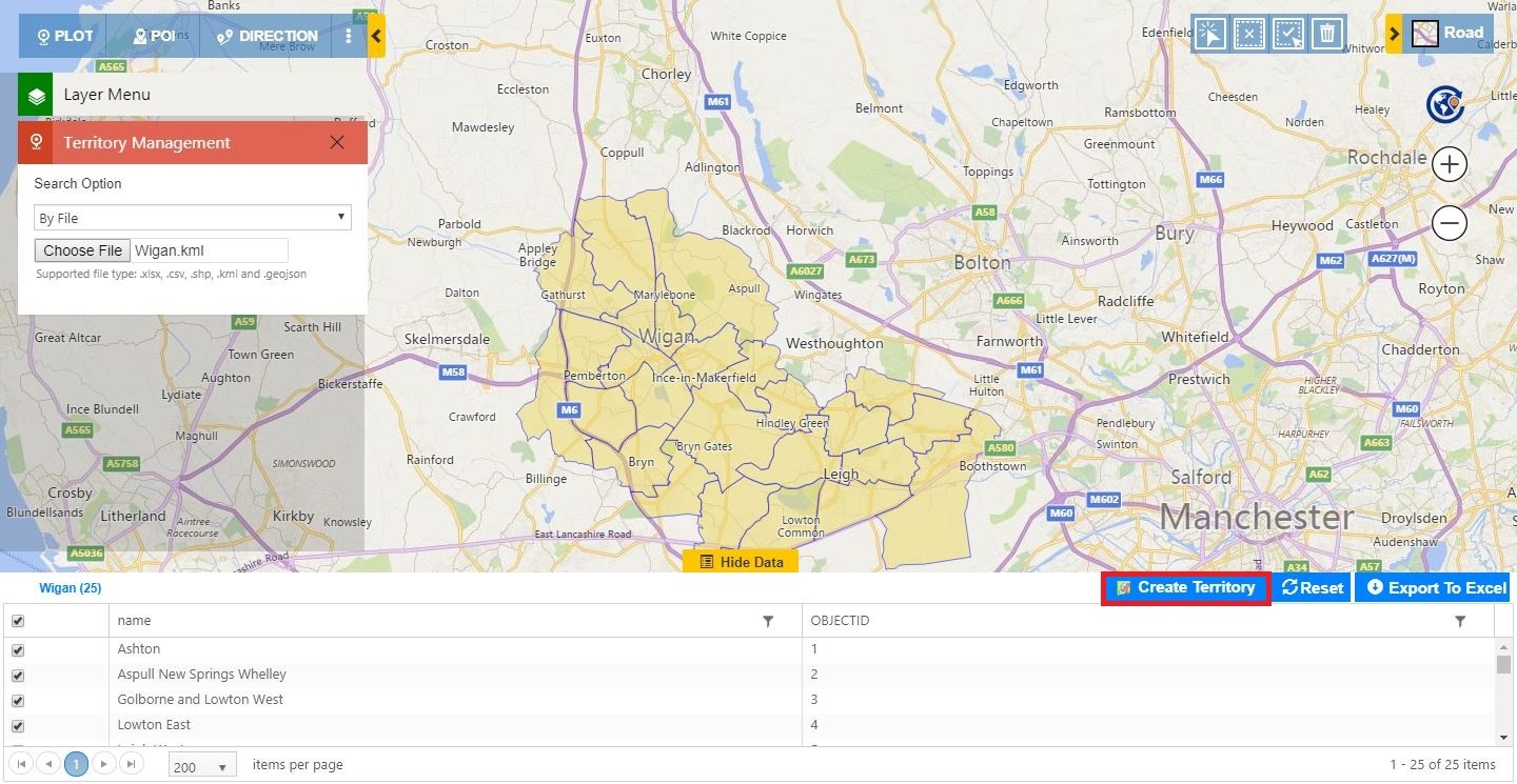
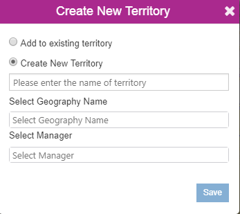
User can plot a shape file on the map to visualise all of the regions to create multiple geographies for a new territory or an existing territory. After plotting the shape files, user can now click on the ‘Create Territory’ button to create a new territory with the plotted shapes as geographies or create the plotted shapes as geographies into a selected existing territory. User can provide the name for the new/existing Territory to be created and the respective names of geographies will be fetched from the file.
In our busy professional lives, this feature saves a lot of time and enables the user to perform Territory management even faster. User can further analyse the created territories along with the Dynamics CRM records and any shape file with the latest feature of Overlay. Explore the latest enhancements & features in Maplytics and reach up to your sales goals. Contact us at crm@inogic.com to schedule a demo session for the latest feature additions of our latest release.


